Search
No search results found
No search results found
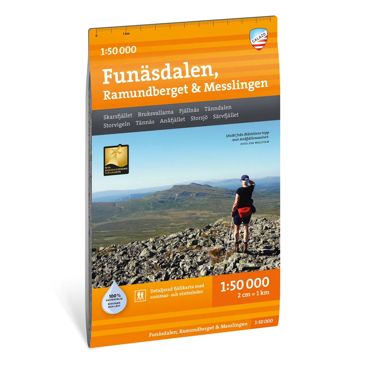
Calazo Tärnaby & Södra Storfjället 1:50 000
Calazo Tärnaby & Southern Great Mountains 1:50,000
See our entire range from Calazo here!
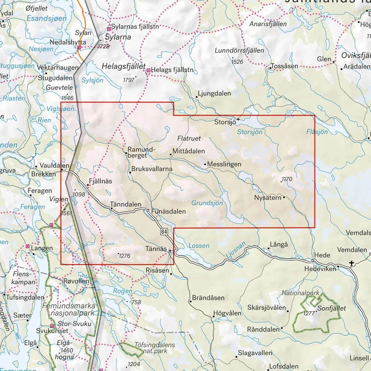
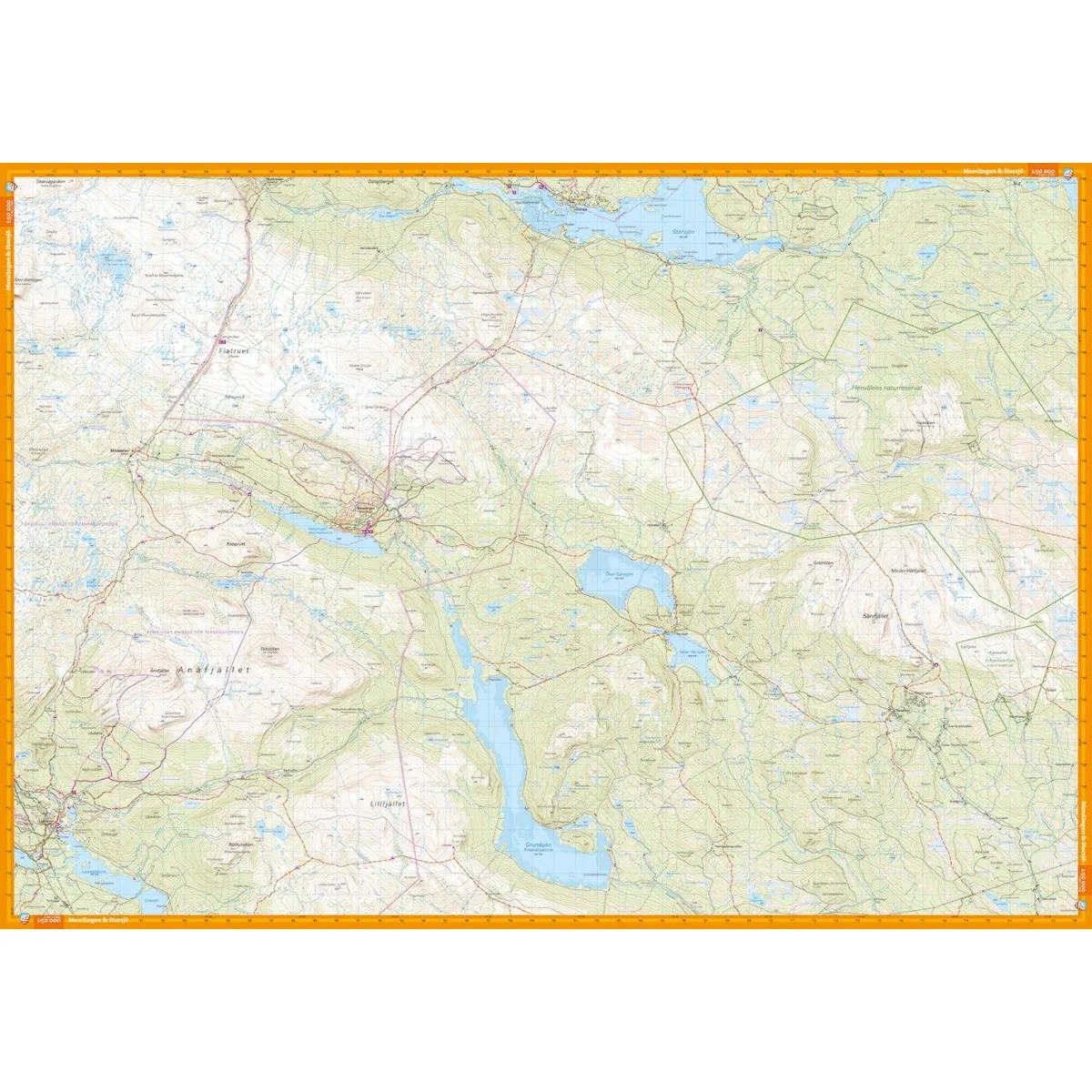
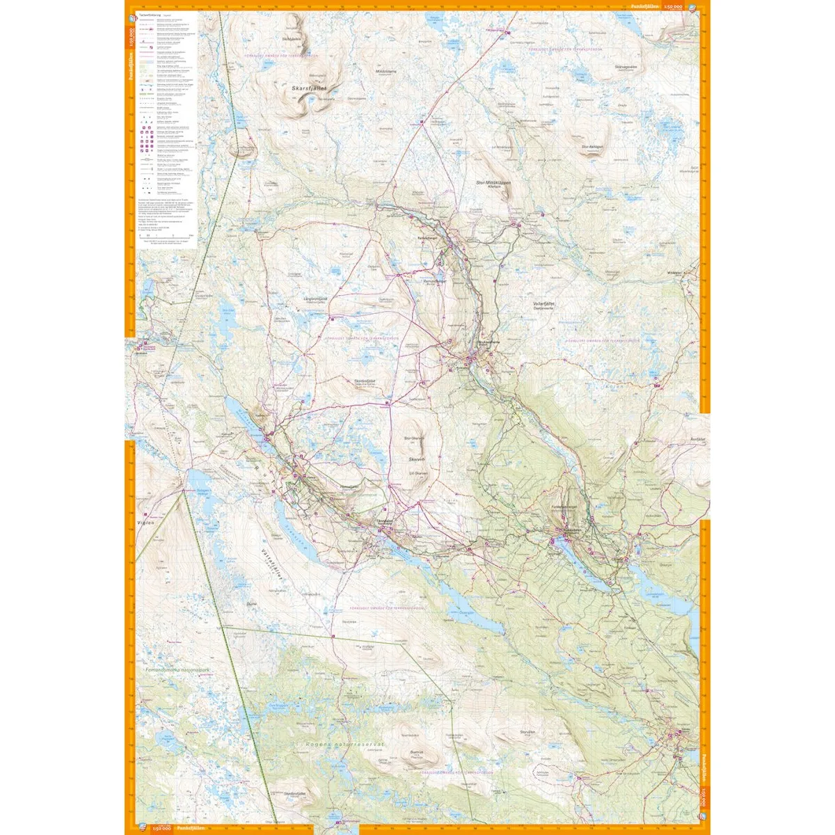
Calazo Tärnaby & Södra Storfjället 1:50 000 is a detailed mountain map of the area south of Tärnaby and Södra Storfjället. The map also covers the northern part of the Lapland Trail between Jofjället and Gränssjö.
The scale and detailed terrain information make the map suitable for mountain hiking, fishing, skiing and other trips where you need to be able to read the terrain carefully.
The scale of 1:50,000 means that one centimeter on the map corresponds to 500 meters in the terrain. The contour lines on the map have an equidistance of 10 meters and provide a clear picture of elevation differences, slopes and terrain shapes.
The terrain information is based on airborne laser scanning. This means that the following, among other things, are reproduced with high accuracy:
Elevation curves and slopes
Watercourses and lakes
Trails and paths
Marshes
Buildings
Rock-bound soil
Difficult to access vegetation
The map is printed on Tyvek, a lightweight, water-resistant and highly tear-resistant material. It can withstand rain, snow, repeated folding and frequent use without the colors fading or the map breaking at the folds.
Tarnaby
Southern Great Mountains
Lapland Trail
Jofjället
Atåfjället
Joesjö
Arevatnet
Border lake
Ryfjället
The virus
Northern Gardfjället
Scale: 1:50,000
Equidistant distance: 10 meters
Material: Tyvek
Size: 70 × 100 cm
Last revised: 2021
ISBN: 9789189079755
Coverage: The area south of Tärnaby and Södra Storfjället and the Lapland Trail between Jofjället and Gränssjö