Search
No search results found
No search results found
Calazo Treriksröset, Abisko & Kiruna 1:100 000
Calazo Treriksröset, Abisko & Kiruna 1:100,000
See our entire range from Calazo here!
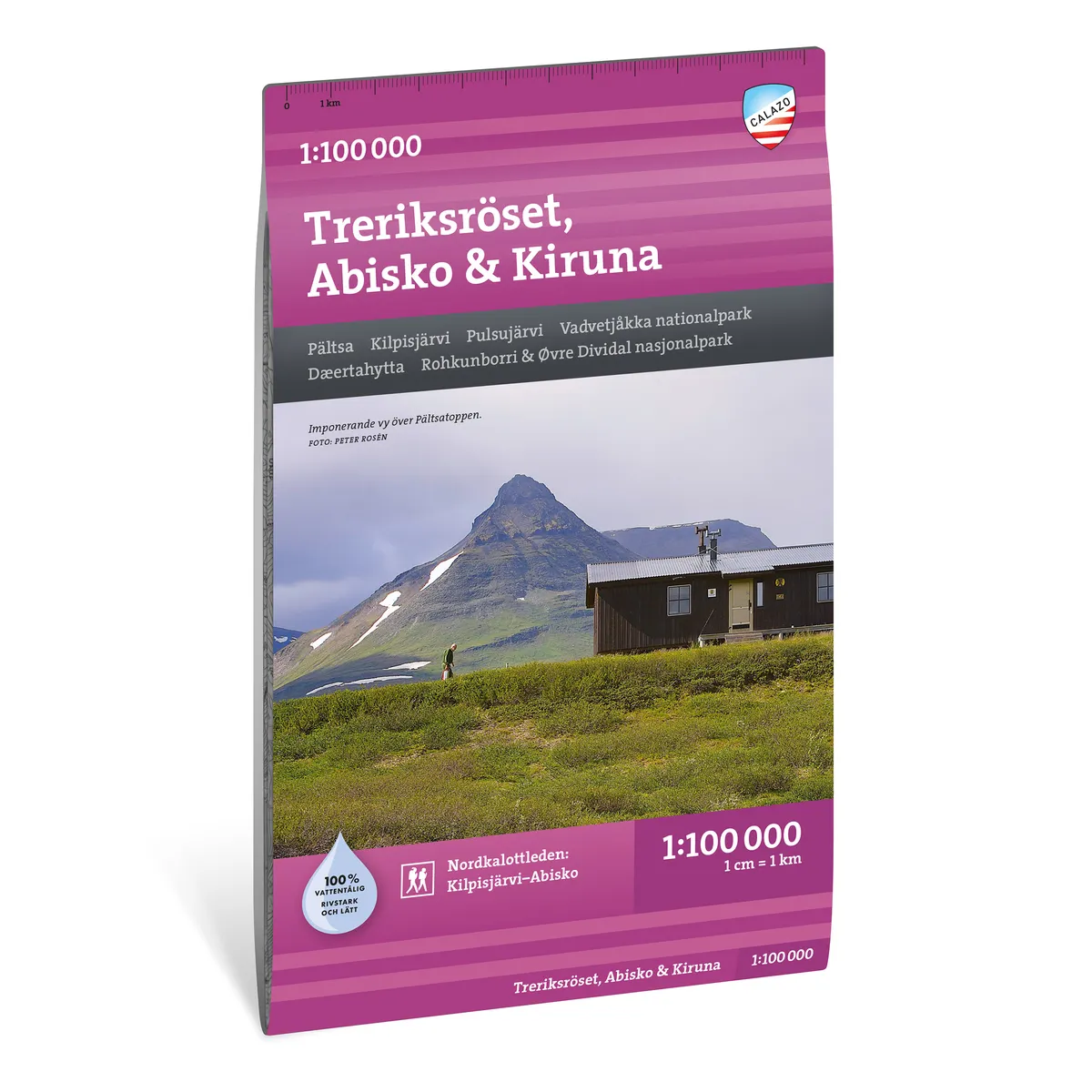
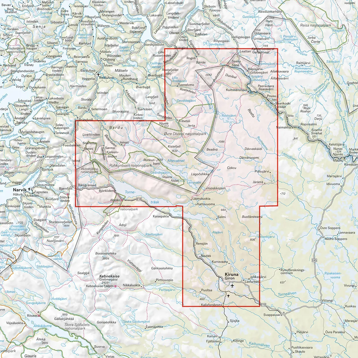
Calazo Treriksröset, Abisko & Kiruna 1:100,000 is a durable mountain map of the area north of Kiruna and Abisko up to Treriksröset. The map covers large mountain areas in the border regions between Sweden, Norway and Finland.
The map is particularly suitable for those planning to hike the Nordkalottleden between Abisko and Kilpisjärvi or want to visit Vadvetjåkka National Park. It is also the northernmost map sheet for those hiking the Green or White Band through the entire Swedish mountain range.
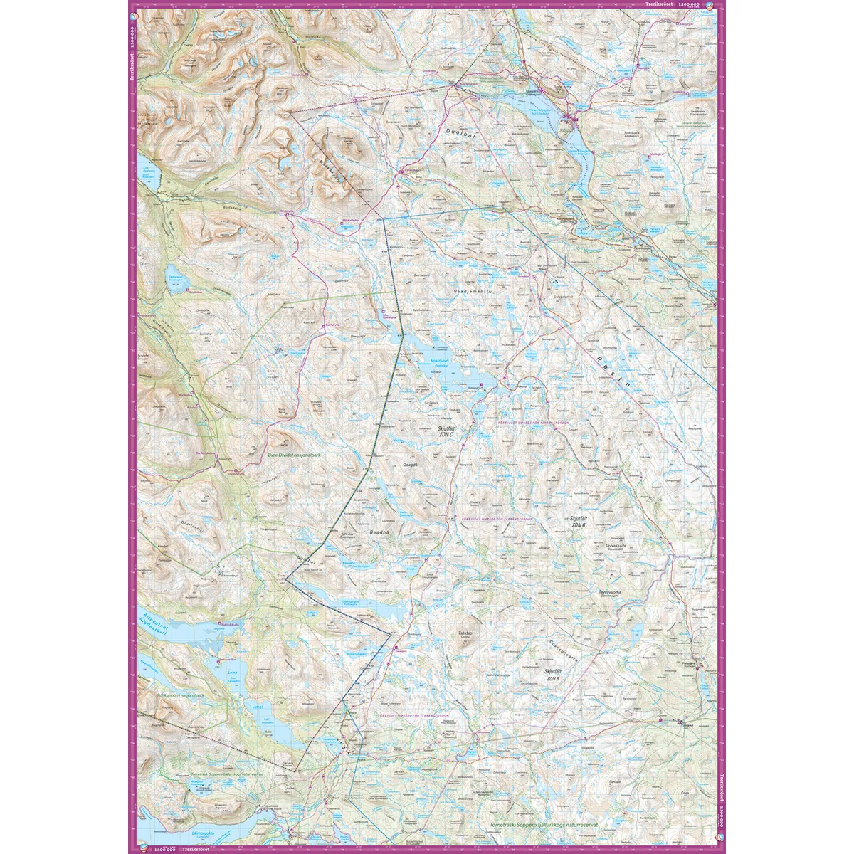
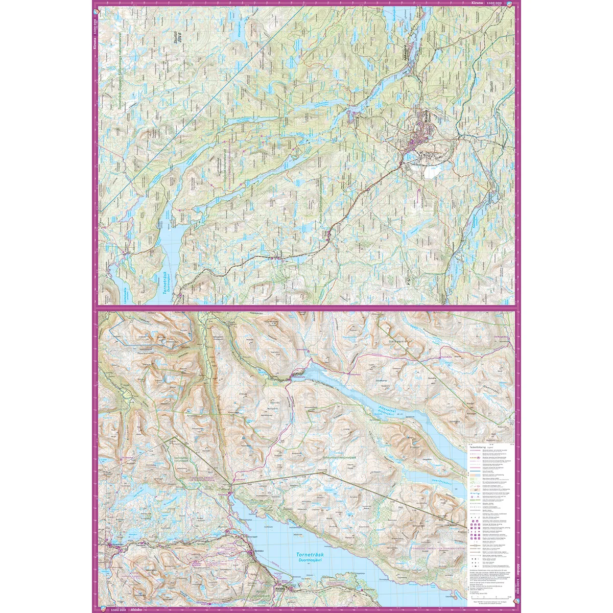
The scale of 1:100,000 means that one centimeter on the map corresponds to one kilometer on the ground. The large coverage area provides a good overview when planning longer hikes, ski trips and snowmobile trips.
The map image is more generalized than on maps at a scale of 1:50,000 or 1:25,000. For detailed navigation along smaller paths or outside marked trails, a more detailed map can therefore be a good complement.
The map is printed on Tyvek, a lightweight, water-resistant and highly tear-resistant material. It can withstand rain, snow, repeated folding and frequent use without the colors fading or the map breaking at the folds.
The Three Kingdoms Mound
Abisko
Kiruna
Fur coat
Kilpisjarvi
Pulsusjärvi
Jukkasjarvi
Vadvetjåkka National Park
Øvre Dividal National Park
Nordkalottleden between Abisko and Kilpisjärvi
Parts of the Green and White Band
Scale: 1:100,000
Coverage area: Kiruna and Abisko–Treriksröset
Material: Tyvek
Size: 70 × 100 cm
Last revised: 2025
ISBN: 9789189880115
Language: Swedish