Search
No search results found
No search results found
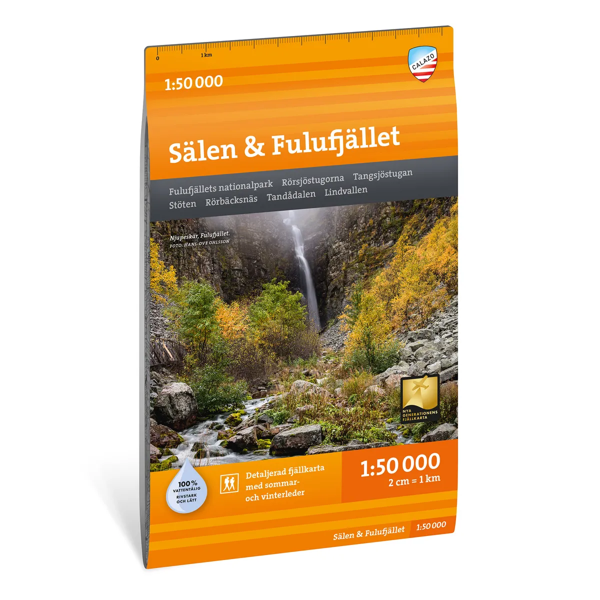
Calazo Sälen & Fulufjället 1:50 000
Calazo Sälen & Fulufjället 1:50,000
See our entire range from Calazo here!
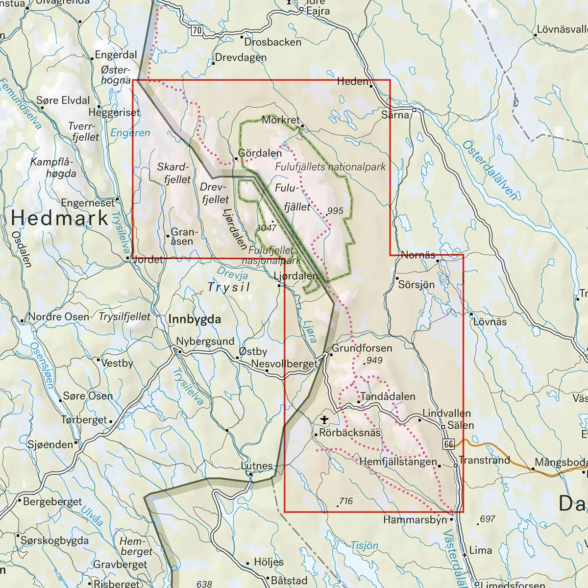
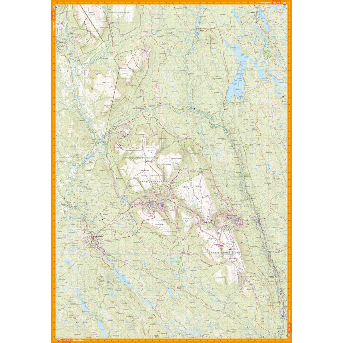
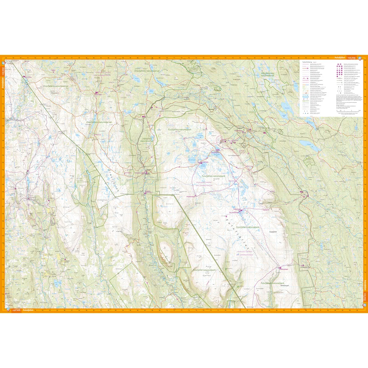
Calazo Sälen & Fulufjället 1:50,000 is a detailed, double-sided mountain map for hiking, skiing, mountain biking and outdoor activities. One side covers the Sälen Mountains and the other the Fulufjället National Park, giving you two large mountain areas on the same map.
Prepared ski trails, mountain bike trails around Rörbäcksnäs, hiking trails and cabin services are clearly marked. The map is therefore suitable for both summer hiking and cycling tours and winter ski excursions.
The scale of 1:50,000 means that one centimeter on the map corresponds to 500 meters in the terrain. The terrain information is based on airborne laser scanning and the contour lines have an equidistance of 10 meters.
The map reproduces the following with high accuracy, among other things:
Elevation curves and slopes
Watercourse
Hiking trails and paths
Prepared ski trails
Mountain bike trails
Marshes
Buildings and cottage services
Rock-bound soil
Difficult to access vegetation
The map is suitable for, among other things:
Hiking in the Sälen Mountains
Tours in Fulufjället National Park
Cross-country and ski touring
Mountain biking around Rörbäcksnäs
Fishing and outdoor activities
Planning day trips and longer excursions
The map is printed on Tyvek, a lightweight, water-resistant and highly tear-resistant material. It can withstand rain, snow and repeated folding without the colors fading or the map tearing at the folds.
Sälenfjällen
Fulufjället National Park
Rörbäcksnäs
Tandådalen
Lindvallen
The clapper
Tangsjöstugan
Prepared ski trails
Mountain bike trails around Rörbäcksnäs
Scale: 1:50,000
Equidistant distance: 10 meters
Material: Tyvek
Size: 70 × 100 cm
Last revised: 2024
ISBN: 9789186773380
Print: Double-sided map