Search
No search results found
No search results found
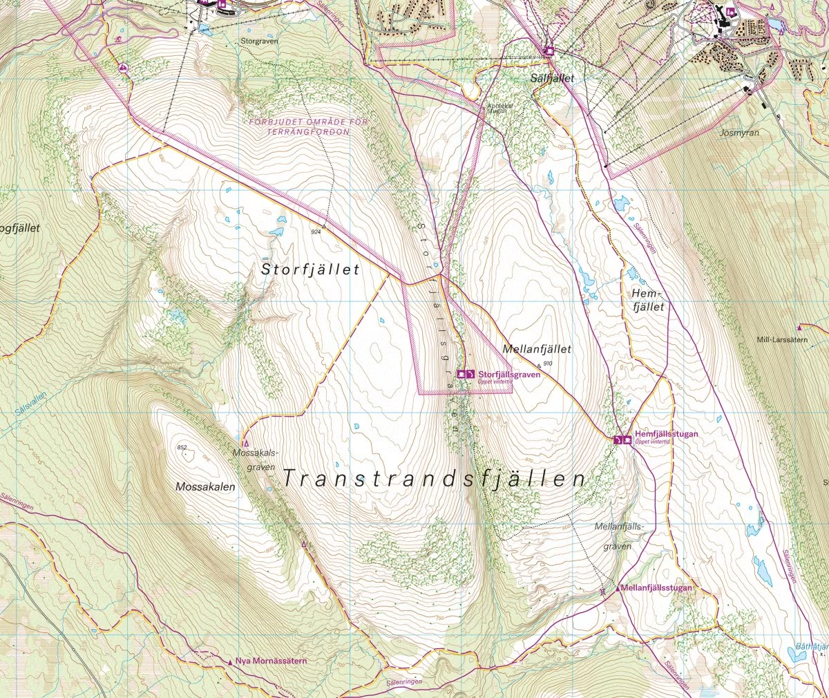
This is a unique map with a wealth of detail that has never before existed over the area around Grövelsjön and north to Rogenstugan. The terrain information in the map is based on airborne laser scanning. For the first time, slopes, blocky terrain, forests and waterways appear with an accuracy that truly corresponds to reality.
A map on a scale of 1:25000 provides good support for you who leave the marked trails and try new routes on the mountain.