Search
No search results found
No search results found
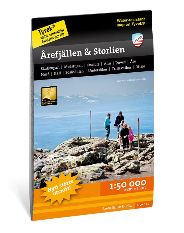
This map is one of the maps we call the new generation mountain map. This means a wealth of detail that is not found in other maps of the same area. The terrain information is based on airborne laser scanning. In addition to completely new height curves with an equidistance distance of 10 meters, watercourses and slopes appear in a considerably better way than before. The trails are reproduced with greater accuracy as well as marshes, buildings, stone-bound ground and hard-to-reach vegetation.
Large section of the Åre Mountains centered on one side with, among others, Åre, Duved, Kall, Edsåsdalen, Trillevallen. The other side covers the mountain area between Skalstugan in the north and Storlien and Handöl in the south.
We have come to the conclusion that the best material for a map is Tyvek®. It is made of a synthetic fiber that makes the map completely insensitive to water and very tear resistant. A Tyvekkarta does not break in the creases or lose its color when you use it.