Search
No search results found
No search results found
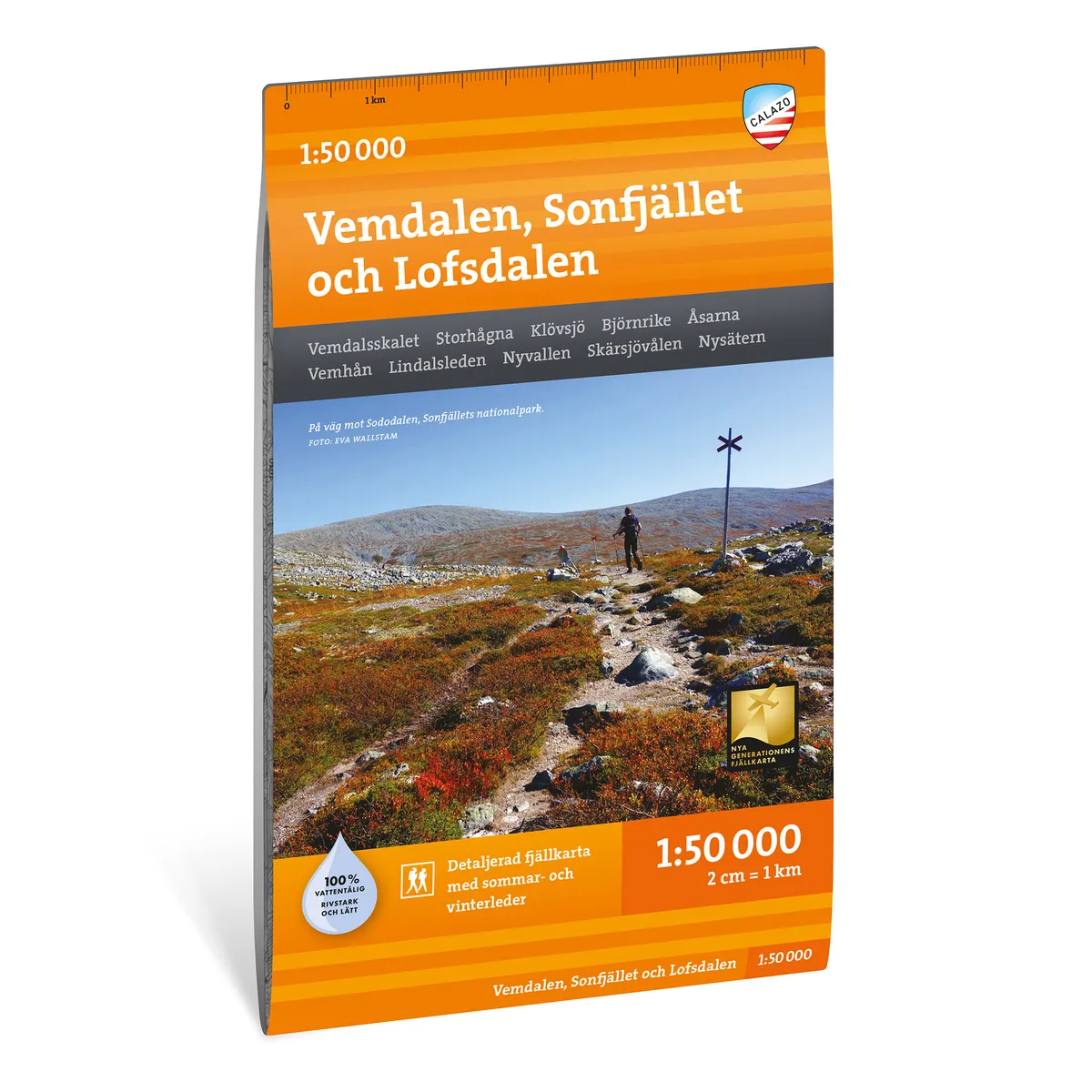
Calazo Vemdalen, Sonfjället & Lofsdalen 1:50 000
Calazo Vemdalen, Sonfjället & Lofsdalen 1:50,000
See our entire range from Calazo here!
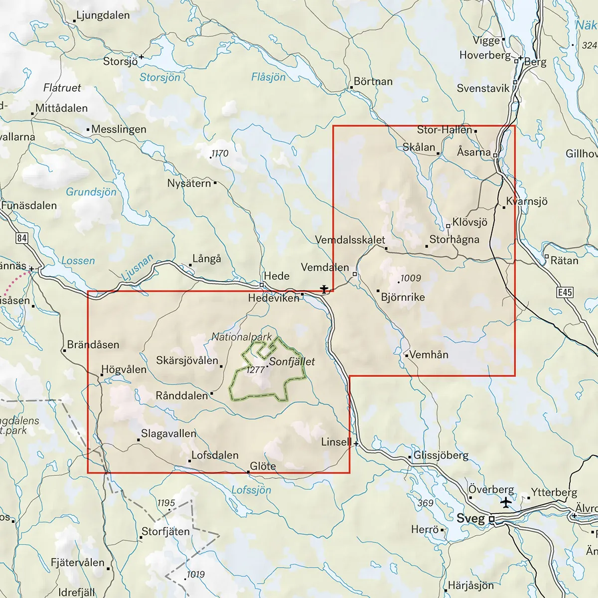
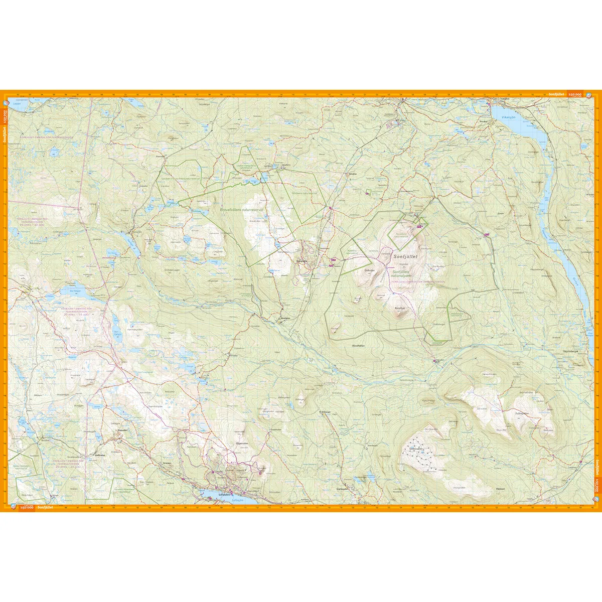
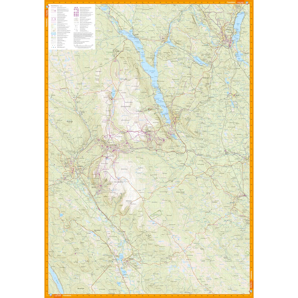
Calazo Vemdalen, Sonfjället & Lofsdalen 1:50,000 is a detailed mountain map that covers the area from Åsarna in the northeast to Lofsdalen in the southwest. The large map section includes Vemdalsfjällen, Sonfjället National Park and the mountain areas around Lofsdalen.
The map is suitable for hiking, mountaineering, fishing, cross-country skiing and other activities where you need clear information about terrain and trails. Prepared ski trails, cabin services and other important information for outdoor activities are marked.
The 1:50,000 scale means that one centimeter on the map corresponds to 500 meters in the terrain. The higher level of detail makes the map useful for shorter tours, route selection and navigation in areas where a 1:100,000 scale overview map does not provide enough information.
Mountain hiking and day trips
Top tours
Fishing and outdoor activities
Cross-country skiing
Planning tours between mountain areas
Navigation along trails and smaller paths
The map is printed on Tyvek, a lightweight, water-resistant and highly tear-resistant material. It can withstand rain, snow, repeated folding and frequent use without the colors fading or the map breaking at the folds.
Vemdalen
Vemdal's shell
Storhogna
Klövsjö
Bear Kingdom
Sonfjället National Park
Heath
The ridges
Whom to mock
Lofsdalen
Lindalsleden
Nyvallen
Skärsjövålen
Nysätern
Scale: 1:50,000
Coverage area: Åsarna–Lofsdalen
Material: Tyvek
Size: 70 × 100 cm
Last revised: 2025
ISBN: 9789186773403