Search
No search results found
No search results found
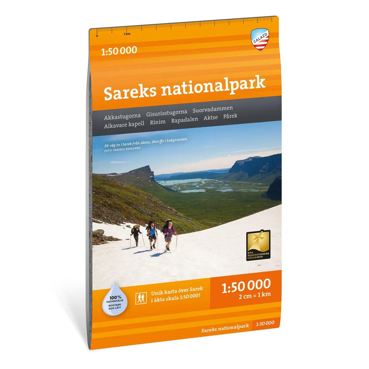
Calazo Sareks nationalpark 1:50 000
Calazo Sarek National Park 1:50,000
See our entire range from Calazo here!
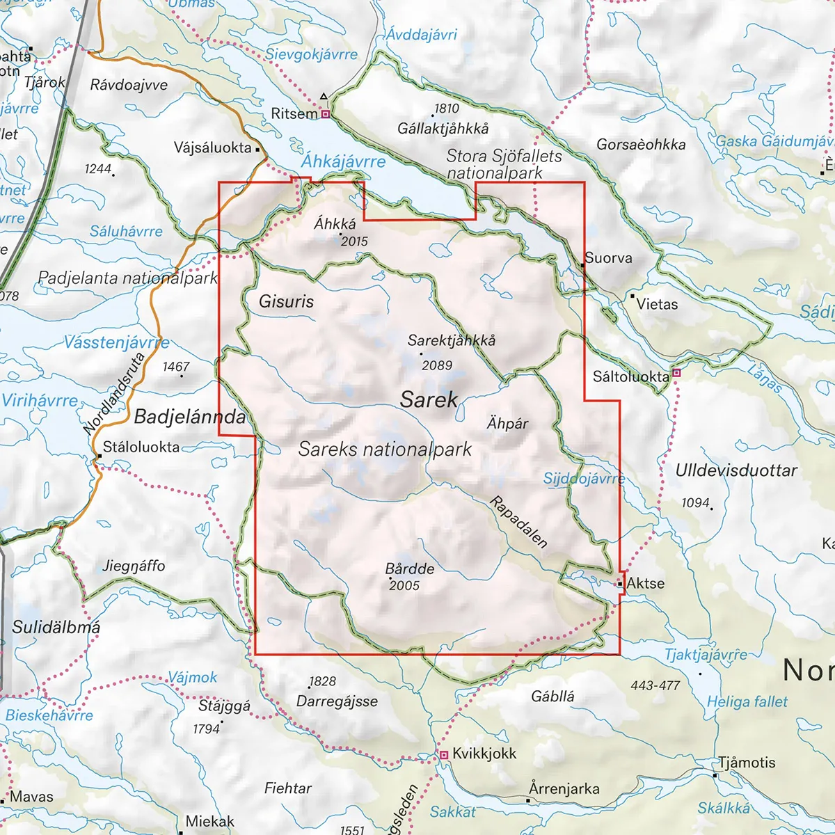
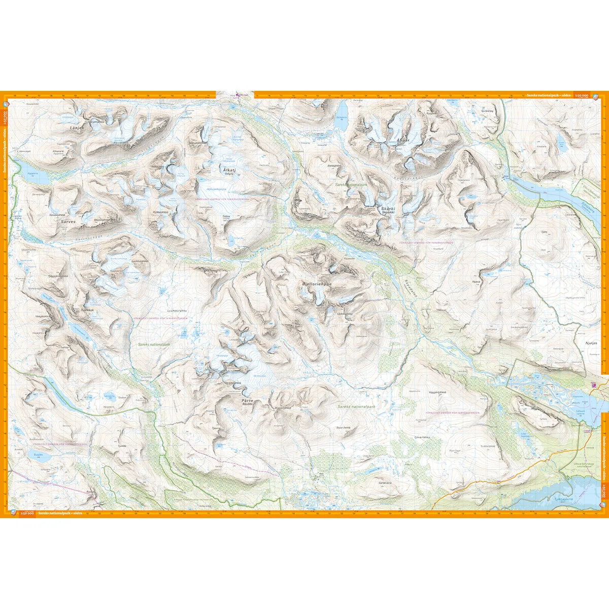
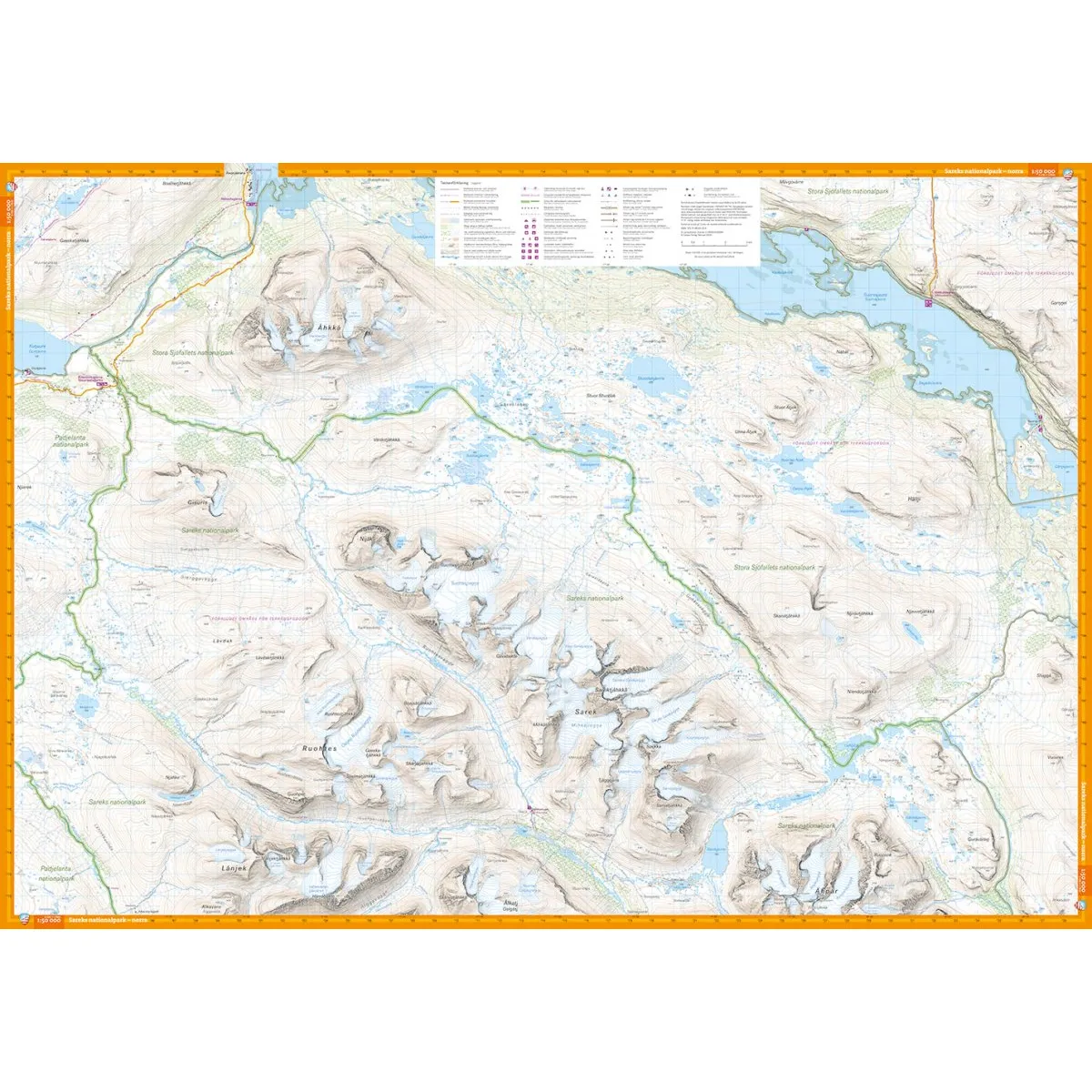
Calazo Sarek National Park 1:50,000 is a detailed mountain map for hiking and longer tours in one of Sweden's most demanding mountain areas. The map provides a continuous section over large parts of Sarek and is printed on both sides.
One side is centered around Ruohtesvágge, with Áhkká to the north of the valley and Sarek's highest peaks around Sarektjåhkkå. The other side covers the entire Rapadalen valley down to Aktse at Kungsleden and the Bårdde massif.
The scale of 1:50,000 means that one centimeter on the map corresponds to 500 meters on the ground. The terrain information is based on airborne laser scanning and provides an accurate representation of elevation differences and natural formations.
The map shows, among other things:
Elevation curves and slopes
Watercourses and lakes
Trails and paths
Marshes
Buildings and mountain cabins
Rock-bound soil
Difficult to access vegetation
The high level of detail is particularly valuable in Sarek, where large parts of the national park lack marked trails.
The map is printed on Tyvek, a lightweight, water-resistant and highly tear-resistant material. It can withstand rain, snow, repeated folding and frequent use without the colors fading or the map breaking at the folds.
Ruohtesvágge
Ahhhh
Sarektjåhkkå
Rapa Valley
Border Massif
The Akkastugon
The Gisuris Cottages
Suorvadam
Alcave chapel
Rinim
Reply
Attention
Part of the King's Trail
Scale: 1:50,000
Material: Tyvek
Size: 70 × 100 cm
Last revised: 2024
ISBN: 9789188335326
Print: Double-sided map