Search
No search results found
No search results found
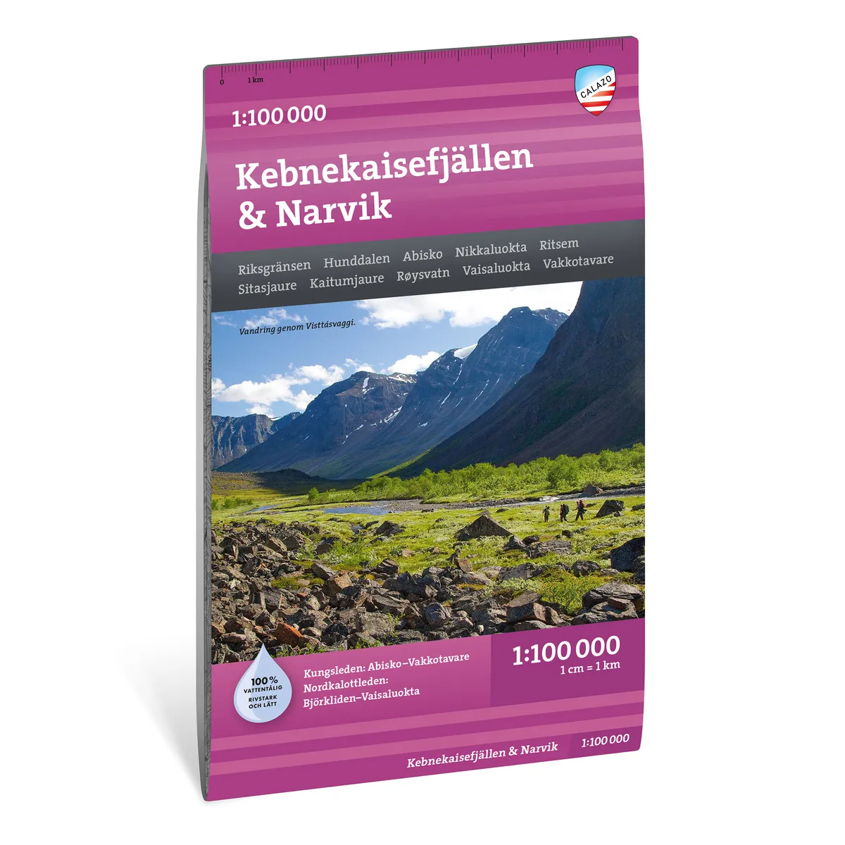
Calazo Kebnekaisefjällen & Narvik 1:100 000
Calazo Kebnekaisefjällen & Narvik 1:100,000
See our entire range from Calazo here!
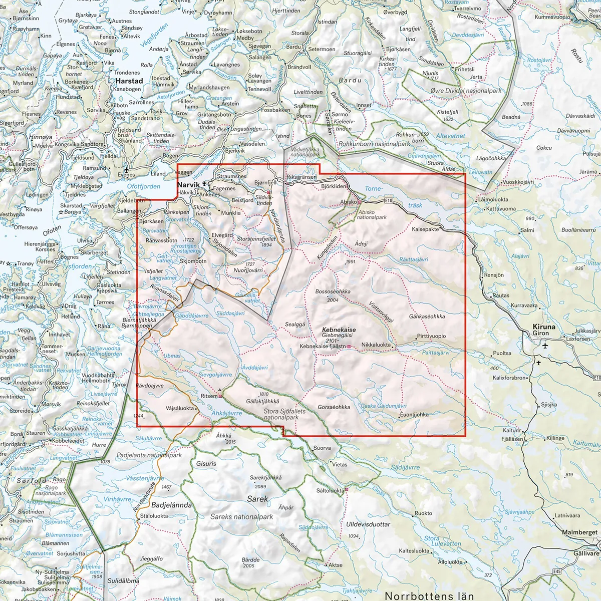
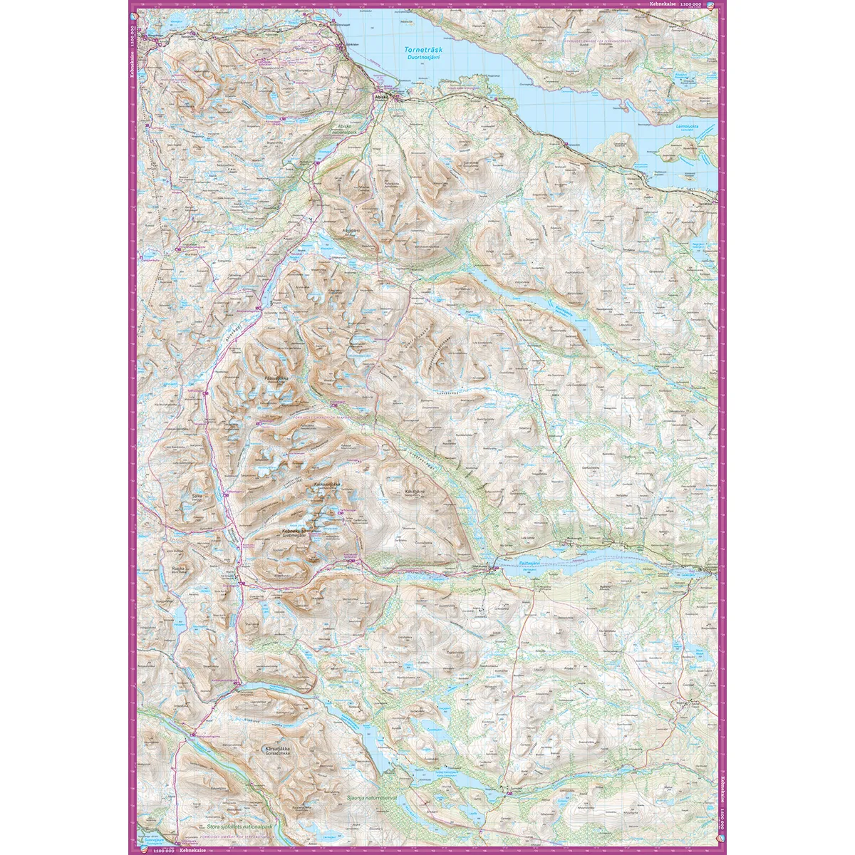
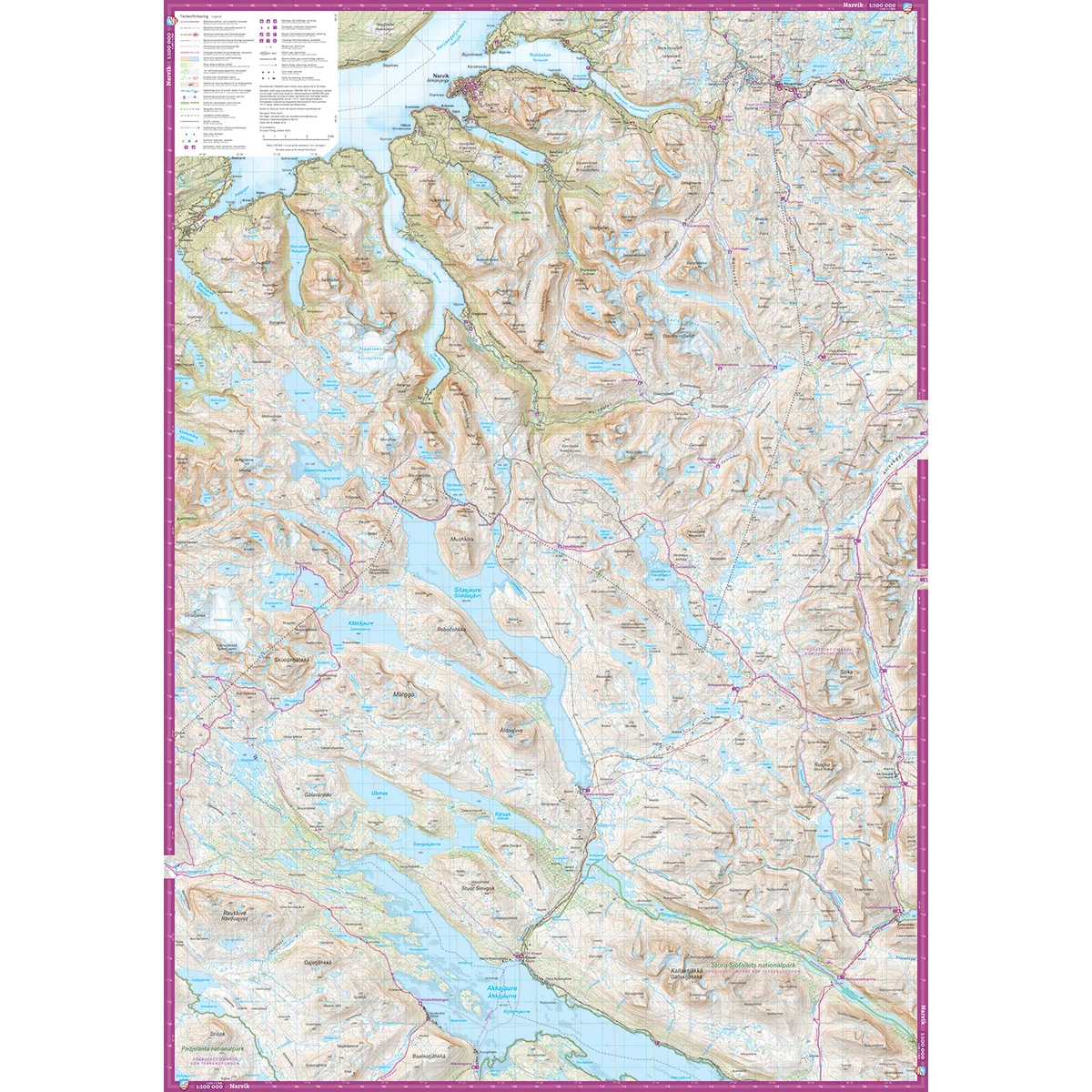
Calazo Kebnekaisefjällen & Narvik 1:100,000 is a durable mountain map of one of Sweden's most visited mountain areas. The map covers the entire Kebnekaisefjällen, from Narvik, Riksgränsen and Abisko in the north to Ritsem, Vakkotavare and Saltoluokta in the south.
The entire Kungsleden stretch between Abisko and Vakkotavare is included, as is the Nordkalottleden between Björkliden and Vaisaluokta. The large coverage area makes the map useful for planning longer hikes, ski trips and other tours through the area.
The scale of 1:100,000 means that one centimeter on the map corresponds to one kilometer in the terrain. The map provides a good overview of mountain ranges, trails, lakes and places in both Sweden and Norway.
The map image is more generalized than on mountain maps at a scale of 1:50,000 or 1:25,000. For mountain tours, detailed orientation or navigation outside marked trails, a more detailed map is therefore recommended as a complement.
The map is printed on Tyvek, a lightweight and highly durable material that can withstand water, repeated folding, and frequent use. It works well in rain and snow and does not tear as easily in the folds as a traditional paper map.
Kebnekaise Mountains
Narvik
The national border
Björkliden
Abisko
Ritsem
Sitasjaure
Kaitumjaure
Teusajaure
Watchtower
Saltoluokta
The King's Trail between Abisko and Vakkotavare
Nordkalottleden trail between Björkliden and Vaisaluokta
Scale: 1:100,000
Coverage area: Narvik and Abisko–Ritsem and Vakkotavare
Material: Tyvek
Size: 70 × 100 cm
Last revised: 2024
ISBN: 9789189880108
Language: Swedish