Search
No search results found
No search results found
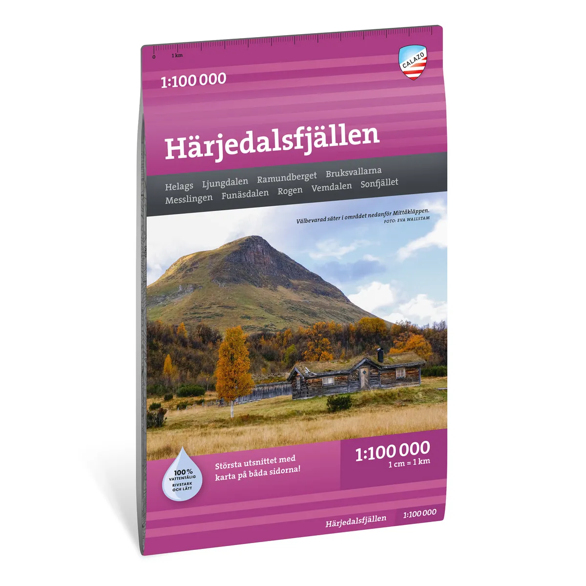
Calazo Härjedalsfjällen 1:100 000
Calazo Härjedal Mountains 1:100,000
See our entire range from Calazo here!
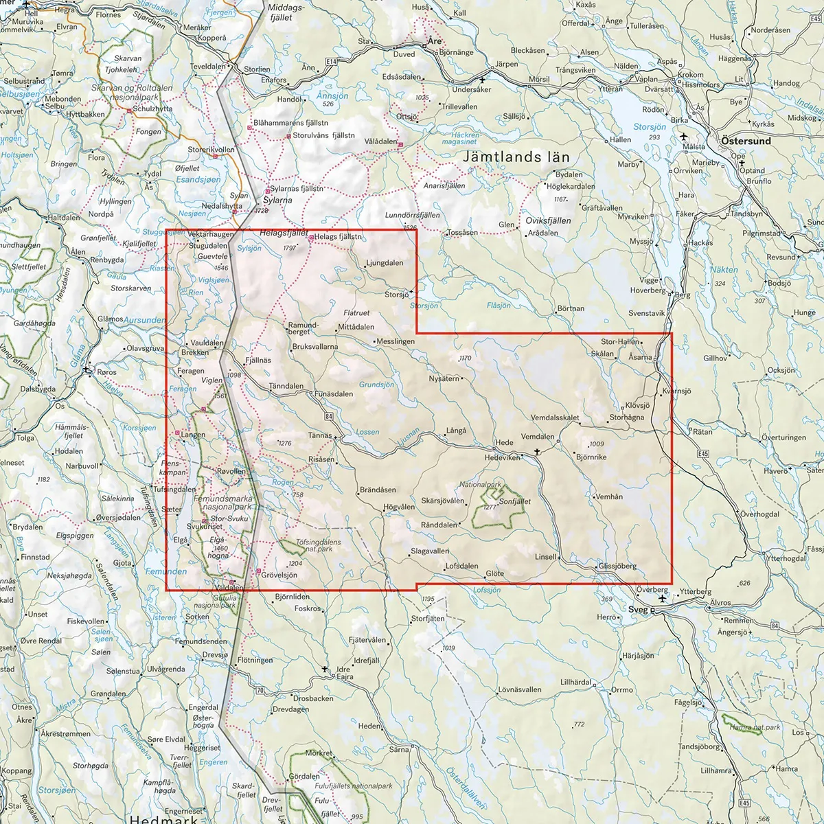
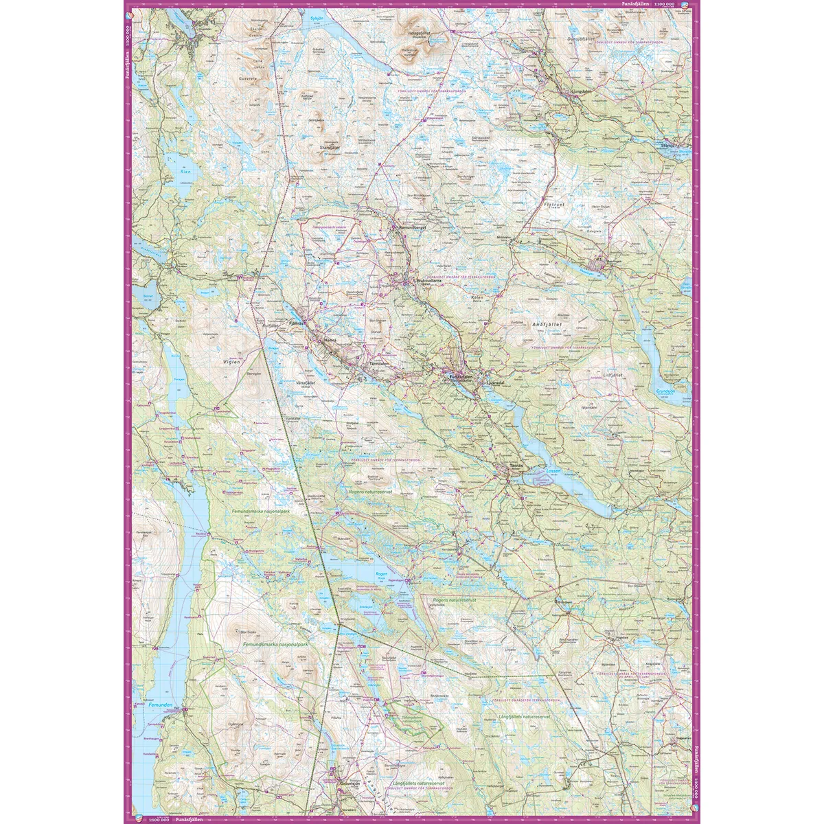
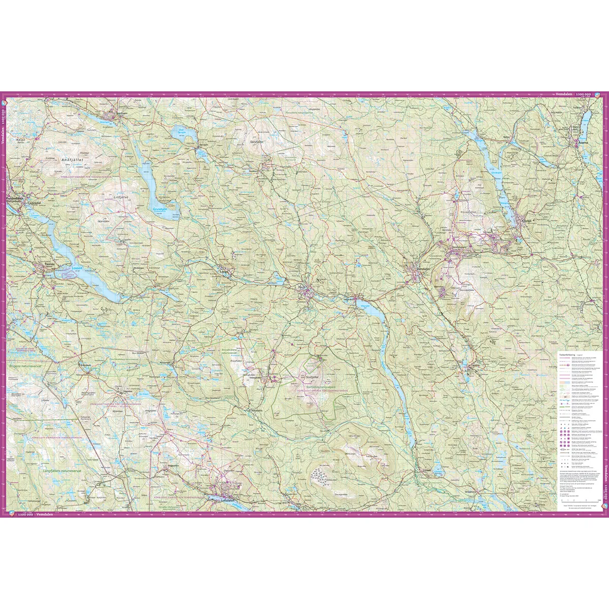
Calazo Härjedalsfjällen 1:100,000 is a durable mountain map that covers a large area from Helags in the north to Grövelsjön in the south. It is particularly suitable for planning, longer mountain trips and trips where you need a clear overview of larger areas.
The map includes, among other things, Rogens Nature Reserve, the Töfsingdalen and Sonfjället national parks, and Femundsmarka National Park on the Norwegian side of the border. Other well-known areas on the map are Funäsdalen, Ramundberget, Bruksvallarna, Vemdalen, Ljungdalen, and Messlingen.
The 1:100,000 scale means that one centimeter on the map corresponds to one kilometer on the ground. The large coverage area makes the map suitable for longer hikes, ski trips, snowmobile tours and overall route planning.
The content is more generalized than on maps at a scale of 1:50,000 or 1:25,000. For detailed navigation along smaller trails or in complicated mountain terrain, a more detailed map can therefore be a good complement.
The map is printed on Tyvek, a lightweight and highly durable material that can withstand water, repeated folding and frequent use in the field. It can be used in rain and snow without being damaged and does not need to be stored in a separate map case to protect it from moisture.
Hello
Ljungdalen
Ramundberget
The mill ramparts
Meslingen
Funäsdalen
Roe
Vemdalen
Sonfjället
Grövelsjön
Töfsingdalen National Park
Femundsmarka National Park
Scale: 1:100,000
Coverage area: Helags–Grövelsjön
Material: Tyvek
Size: 70 × 100 cm
Last revised: 2024
ISBN: 9789189880030
Language: Swedish