Search
No search results found
No search results found
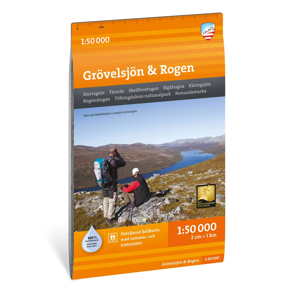
Calazo Grövelsjön & Rogen 1:50 000
Calazo Grövelsjön & Rogen 1:50,000
See our entire range from Calazo here!
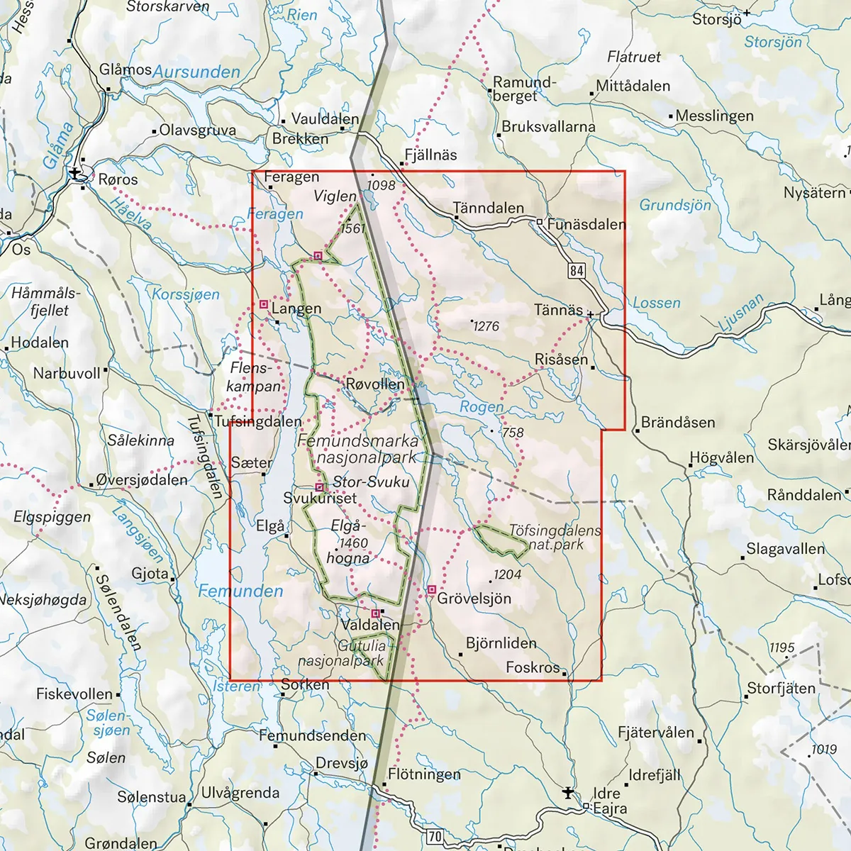
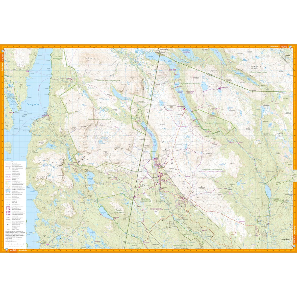
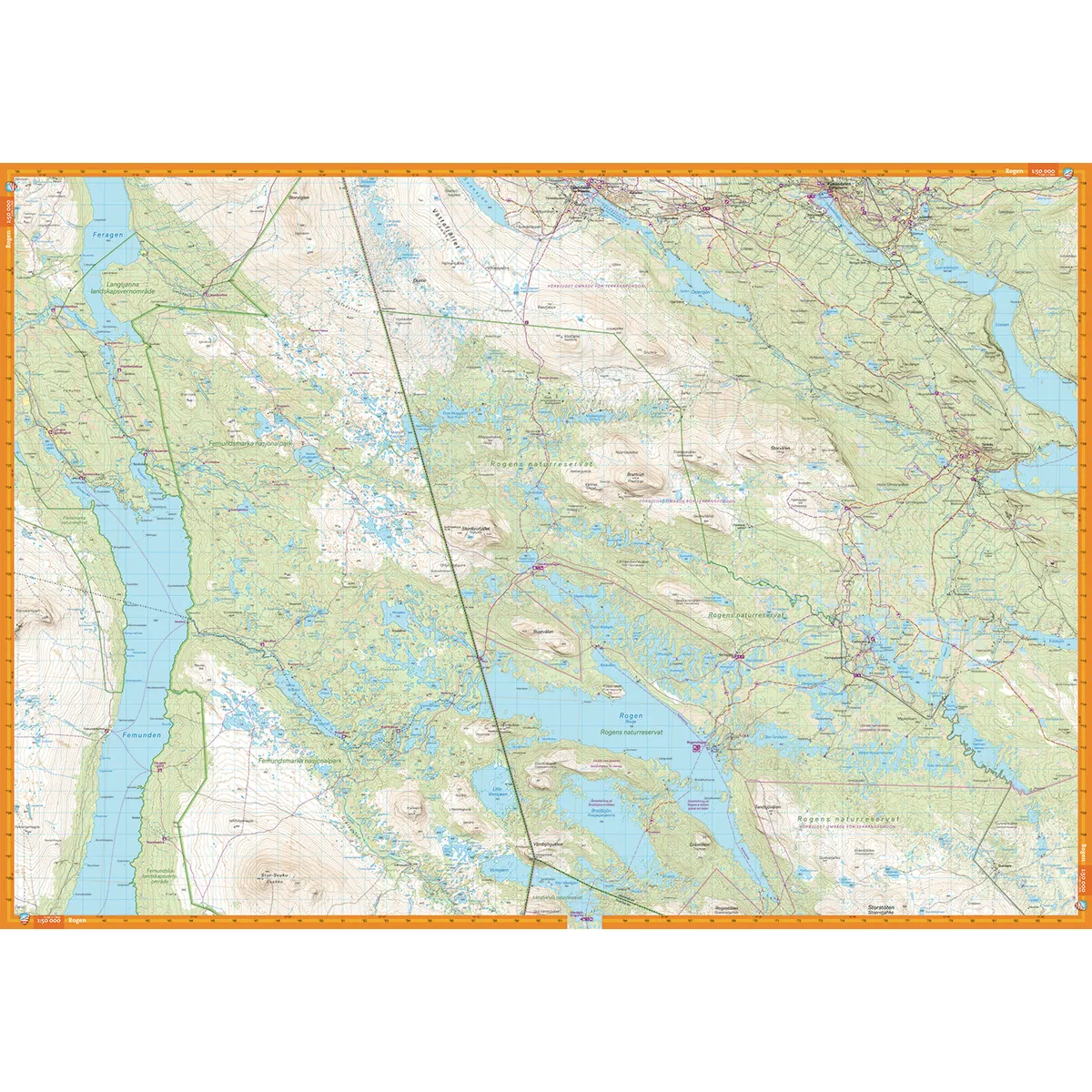
Calazo Grövelsjön & Rogen 1:50,000 is a detailed and cross-border mountain map of the area between Grövelsjön in the south and Tänndalen in the north. The map covers the entire Rogen area as well as Töfsingdalen National Park in Sweden and Femundsmarka National Park in Norway.
The area's many lakes, streams and mountain trails make the map useful for hiking, fishing, canoeing, skiing and other adventures on both sides of the national border.
The scale of 1:50,000 means that one centimeter on the map corresponds to 500 meters in the terrain. The high level of detail makes it easier to navigate between lakes, trails, mountain huts and smaller terrain formations.
The map is suitable for both shorter day trips and longer journeys through Rogen, Töfsingdalen and Femundsmarka.
Mountain hiking and day trips
Fishing in the Rogen area
Canoeing and kayaking
Cross-country and ski touring
Long-distance skating
Cross-border tours
Planning longer mountain adventures
The map is printed on Tyvek, a lightweight, water-resistant and highly tear-resistant material. It can withstand rain, snow, repeated folding and frequent use without the colors fading or the map breaking at the folds.
Grövelsjön
Roe
Tanndalen
Tannäs
The Great Vigil
The Spoonbill Cottage
The Rogen Cottage
Lake Käringsjön
Elåhogna
Töfsingdalen National Park
Femundsmarka National Park
Scale: 1:50,000
Coverage area: Grövelsjön–Tänndalen
Material: Tyvek
Size: 70 × 100 cm
Last revised: 2024
ISBN: 9789186773328
Print: Double-sided map