Search
No search results found
No search results found
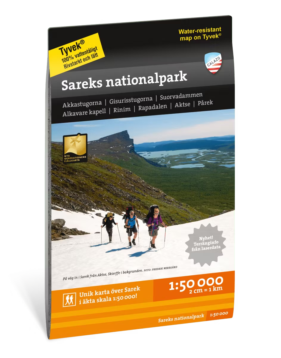
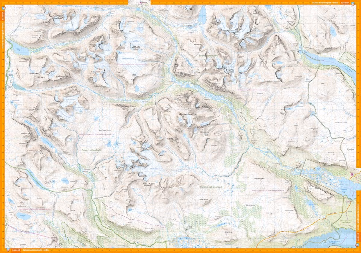
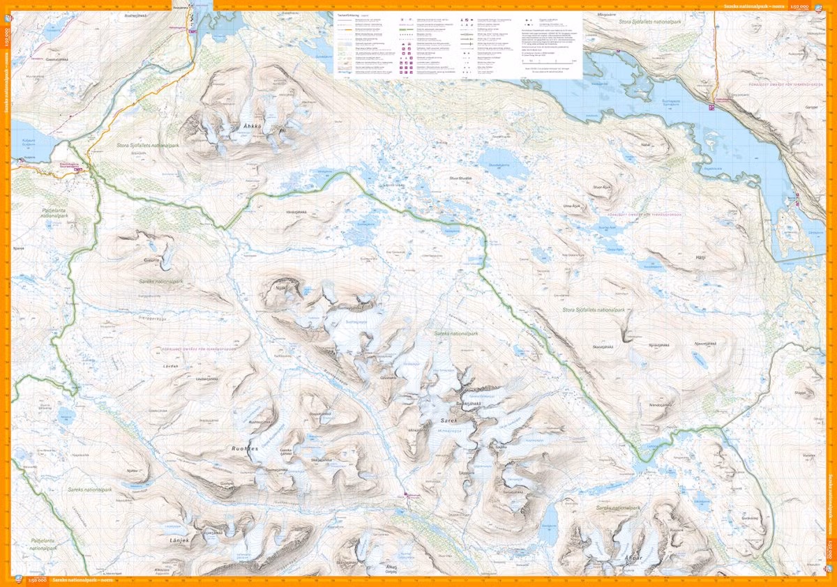
This map is one of the maps Calazo calls the new generation mountain map. This means a wealth of detail that is not found in other maps of the same area. The terrain information is based on airborne laser scanning. In addition to completely new contour lines, watercourses and steep slopes appear in a significantly better way than before. The trails are reproduced with greater accuracy, as are bogs, buildings, rocky ground and difficult-to-access vegetation.
The section on one side of this map is centered around Ruohtesvágge with Áhkká north of the valley and Sarek's highest peaks around Sarektjåhkkå. The other side covers the entire Rapadalen valley down to Aktse at Kungsleden and the Bårdde massif.
Calazo has concluded that the best material for a map is Tyvek®. It is made of a synthetic fiber that makes the map completely insensitive to water and very tear-resistant. A Tyvek map does not break in the folds or lose color when you use it.