Svenska
 Deutsch
Cart
Your cart is empty, but doesn't have to be..
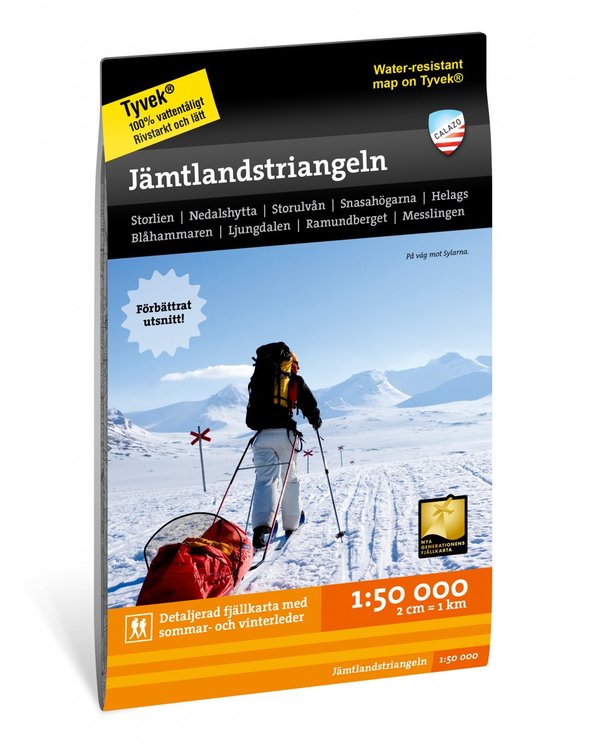
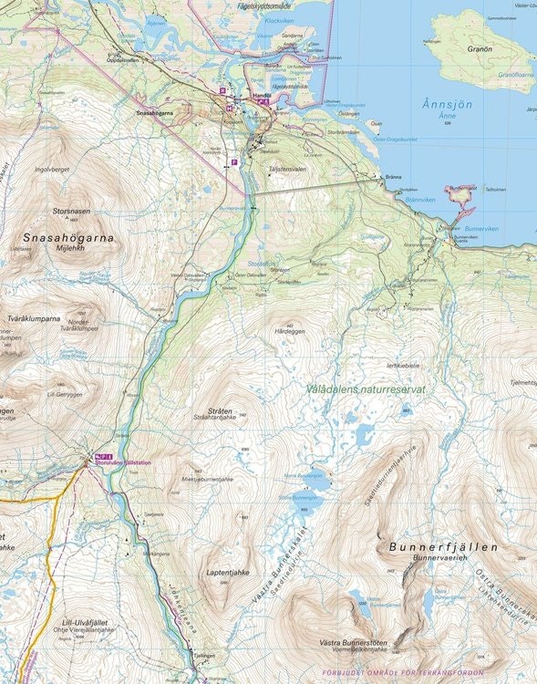
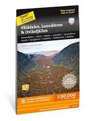
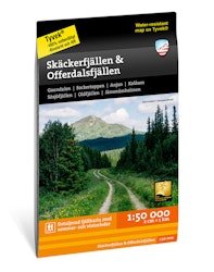
This map is one of the maps we call the new generation mountain map. This means a wealth of detail that is not found in other maps of the same area. The terrain
Unfortunately, the product is out of stock. :(
Please contact us if you are wondering if / when it will be back in stock =)
This map is one of the maps we call the new generation mountain map. This means a wealth of detail that is not found in other maps of the same area. The terrain information is based on airborne laser scanning. In addition to completely new height curves with an equidistance distance of 10 meters, watercourses and slopes appear in a considerably better way than before. The trails are reproduced with greater accuracy as well as marshes, buildings, stone-bound ground and hard-to-reach vegetation.
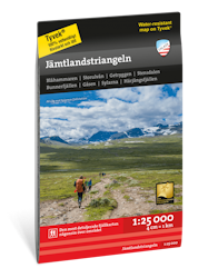
The section on one side of this map is centered around the very popular hiking trip Jämtlandstriangeln which runs between Storulvån, Sylarna and Blåhammaren. The site also contains Snasahögarna, Bunnerfjällen and Gåsen. The other side covers the area to the south where Jämtland turns into Härjedalen with Helags, Ljungdalen, Flatruet and Ramundberget.
We have come to the conclusion that the best material for a map is Tyvek®. It is made of a synthetic fiber that makes the map completely insensitive to water and very tear resistant. A Tyvekkarta does not break in the creases or lose its color when you use it.